

3 Alerts |
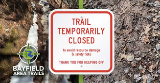
Please review all trail alerts listed below before you hike the Bayfield Area Trails' system. Our goal is for you to have an enjoyable and safe hiking experience. These alerts also assist in protecting/preserving fragile & damaged landscape areas. Please report any trail damage or vandalism you see along the trails.
|
Thank you for your cooperation and enjoy the trails!

Trail Alerts | Bayfield Area Trails
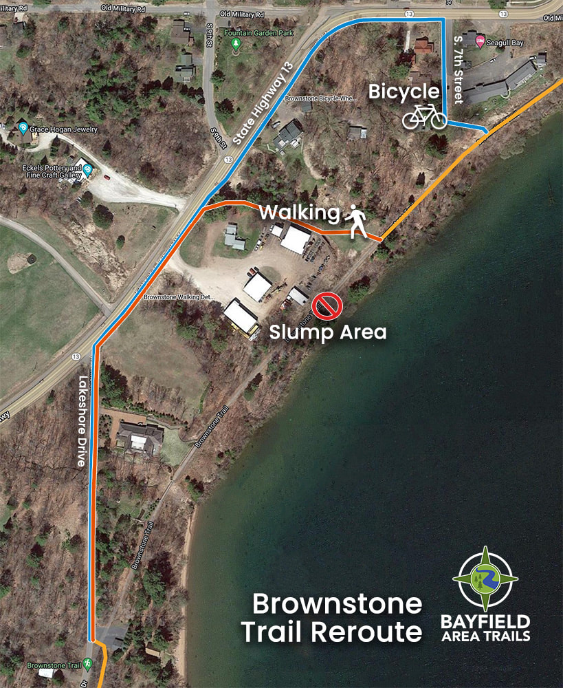
Brownstone Trail
|
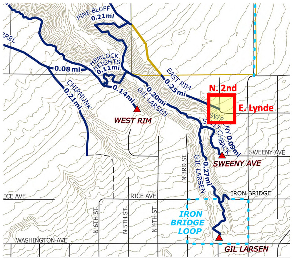
Big Ravine - East Rim
|
|
|
|