Picture

BLOG

  Best Hiking in Bayfield!
  • HOME
  • TRAILS
  • PROJECTS
  • ABOUT
  • NEWS
  • BLOG
  • PARTICIPATE

Iron Bridge Update

8/17/2020

0 Comments

 
BIG RAVINE TRAILS MAP
Picture
Will Krift at the top of the Iron Bridge Link
Will Krift of Trails Anonymous worked with a crew of Bayfield Area Trails Stewards (BATS) on Saturday afternoon, August 8, on a connecting the trail from the east end of the Iron Bridge down to the Gil Larsen Trail in the Big Ravine.

“The trail is looking good,” Krift said. “The hardest piece is building the turning platform, connecting the upper and lower sections of the switchback—but we lucked out and the dirt’s really good here.” The crew had pretty much finished the work on the connecting trail—but Krift thought he’d wait until the next work session to put in the steps at the top.
On the previous day the crew completed the Sweeney Ave. Link, the connector from the end of East Sweeney Avenue down to the Gil Larsen Trail. During this work session, volunteers included Adrian Bethel, Bill Bland, John Ipsen, Genevieve Johnson, Michael Kinnee, Kate Kitchell, John Olson, Mark Peterson, Keith Ray, Kris Wegerson, and Bob Wood.
Picture
Will Krift and Bob Wood on the Sweeny Ave. Link
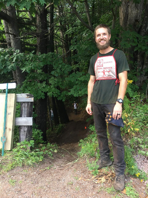
“It’s pretty cool to see the community involvement—the blood, sweat and tears, all of it,” Krift said. “And the community-building around these trails. I didn’t have too many expectations but there are so many returnees getting into the swing of things; they come back and they already have the skills. The progress we’ve made is really cool.”
 
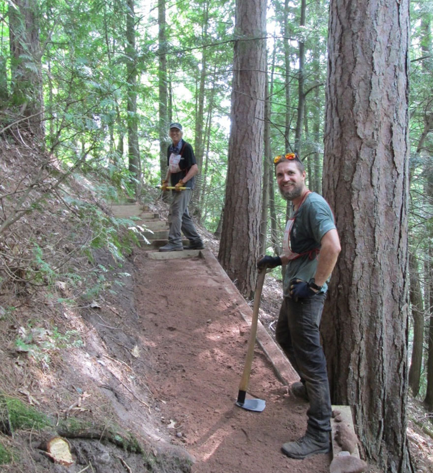
Volunteer Genevieve Johnson was working with a rogue hoe, a tool for digging up dirt and scraping the trail. She said the day was “a steamy one.” And then she summed up what’s made it all worthwhile: “We’re already getting feedback from locals and tourists hiking in from the trailhead; they’re excited to see what’s going on. They say, ‘Thank-you for your work.’”
​
Well said.
0 Comments

What’s So Special About the Bayfield Area?

8/17/2020

0 Comments

 
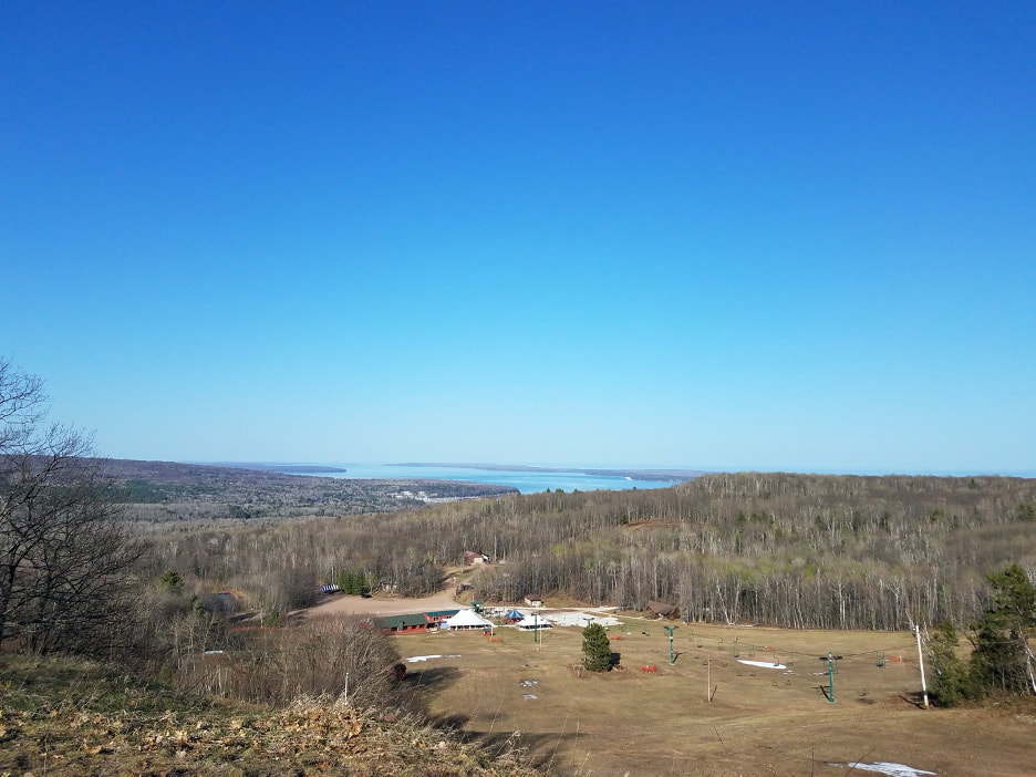
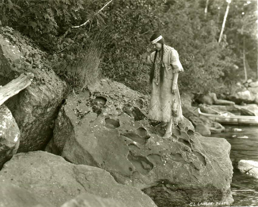
The cultural and natural history around the Bayfield area is heavily intertwined; you can’t talk about one without the other.
This area of Wisconsin was heavily glaciated, and glacial meltwater continued to erode and shape the landscape until the end of the last glaciation 11,700 years ago. Today, residents and visitors can still see signs of this time period including valleys, ravines, and ridges. They also enjoy the over 966 lakes and 400 miles of streams throughout Bayfield County.
Picture
Mt. Ashwabay Spring 2018 - Photo Credit: Tony Jeannette
Picture
Sugarbush State Natural Area Fall 2019 - Photo Credit: Tony Jeannette
This varied landscape supports diverse flora and fauna, and has also been important to human inhabitants throughout history.

​Trails throughout the peninsula, including those in the Bayfield area, provide opportunities to experience these remarkable natural features. Whether it is on foot, a pair of skis, a bike, an ATV or snowmobile, everyone can enjoy the dense and diverse forests, views of Lake Superior, and glimpses of wildlife.
Arriving here from the east, the Anishinaabe (also referred to as the Ojibwe or Chippewa) settled here, and were sustained by the area’s natural resources for many years. From Lake Superior, they would obtain fish year-round. In the fall, they would harvest wild animals and gather wild rice. In late winter, they would tap maple trees for sap, and summer offered a variety of foods.
Picture
Kewadinoka, Red Cliff, 1923 - Photo Credit: Bayfield Heritage Association 2002.23.3
Picture
Old Mission Church, La Pointe, WI - Photo Credit: Bayfield Heritage Association 1983.20.11
The same resources that supplied the Ojibwe people also attracted others to the area. In 1622, French explorers reached the shore of Lake Superior and fur traders followed quickly behind. Missionaries also came to Wisconsin, including Madeline Island, in the 1600s.
European immigrants established fishing and lumber industries, and several quarries, and these natural resources were exported first by water and then by the railroad. When the forests were finally depleted, families - mostly immigrants or second-generation Americans - moved to the Bayfield area to build new farms on the now-open lands. Today, orchards and small farms still exist on the more fertile lands while the forests have grown back elsewhere.

​Bayfield’s unique location and its plentiful natural resources continue to draw people to the area - for either a visit or a longer stay. We hope to see you on the trails!
Picture
Logging on the Bayfield Peninsula - Photo Credit: Bayfield Heritage Association 1980.56.2
Picture
Quarry at Houghton Point - Photo Credit: Bayfield Heritage Association 1980.1.515
Picture
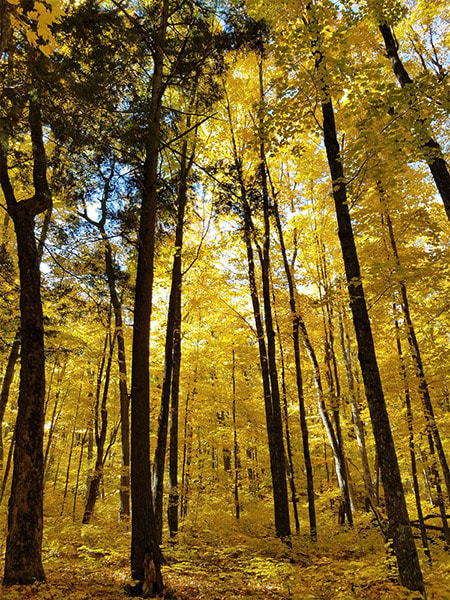
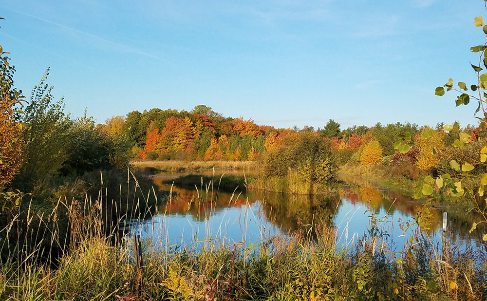
Headwaters of Brickyard Creek in the Orchards 2019 - Photo Credit: Tony Jeannette
0 Comments

    Blog | Bayfield Area Trails

    VOLUNTEER & UPDATE SIGN UP

    Archives

    March 2023
    November 2022
    October 2022
    September 2022
    August 2022
    July 2022
    June 2022
    May 2022
    April 2022
    March 2022
    February 2022
    November 2021
    October 2021
    September 2021
    August 2021
    June 2021
    May 2021
    April 2021
    February 2021
    December 2020
    November 2020
    September 2020
    August 2020
    July 2020

Picture Bayfield Area Trails logo
Button Facebook Logo
Button Email Icon

    Comments, suggestions, great experiences? Talk to us!
    ​ 

Submit

TJoseph Media © Copyright 2023-25 Bayfield Area Trails. All Rights Reserved.
  • HOME
  • TRAILS
  • PROJECTS
  • ABOUT
  • NEWS
  • BLOG
  • PARTICIPATE